For several years, BERTHO TP has trusted SITENAV 3D solutions to optimize its jobsites and enhance precision. Now, they’re elevating performance even further by choosing our radio base station.
-
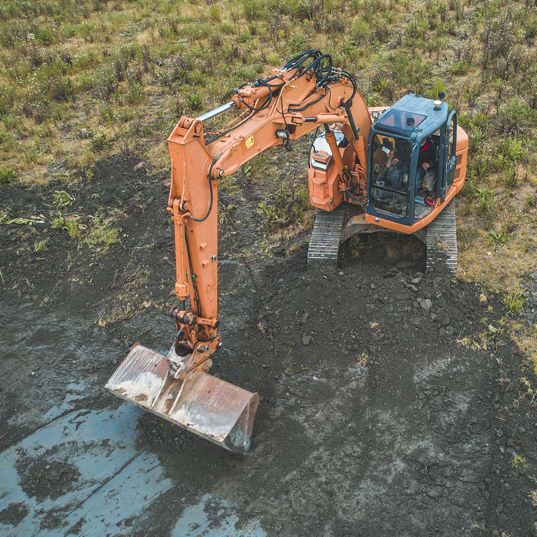 Read more: Excavator Guidance made easy
Excavator Guidance made easy
-
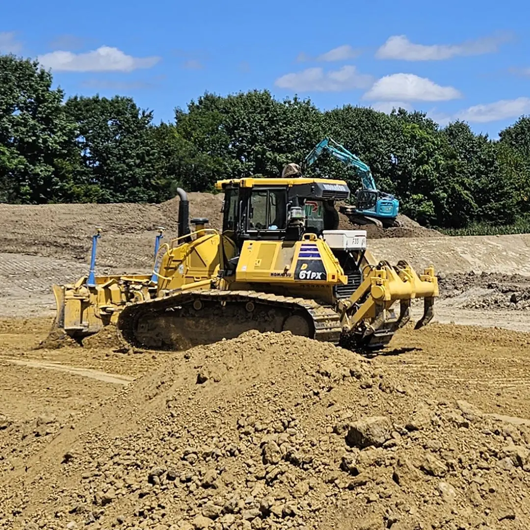 Read more: Simple & precise Bulldozer guidance
Simple & precise Bulldozer guidance
-
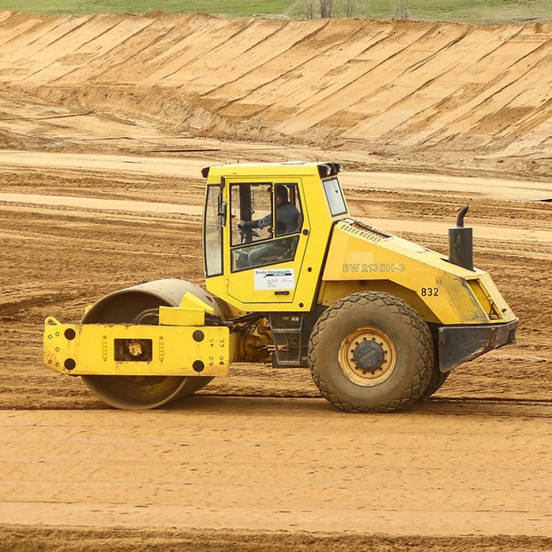 Read more: Real-Time Compactor Machine Control
Real-Time Compactor Machine Control
-
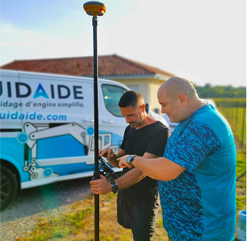 Read more: GNSS Rover Kit
GNSS Rover Kit
Advantages of our solution
More safety with wireless sensors
Our sensors use radio communication to monitor your machines’ mobile devices in real-time. Powered by solar energy, these sensors provide sustainable and reliable autonomy. Designed for easy installation and removal, they eliminate the risks associated with ripped or stolen cables.
A universal system with easy installation
Our team of experts can install our solution on all types of machines in just a few hours, making your equipment fully operational in just a day.
A robust & field-tested technology
SITENAV machine guidance is built to tackle every job site challenge. Versatile and adaptable to all types of tasks, it ensures accurate monitoring of your jobsite, even across vast areas and long distances.
User-friendly interface with online assistance
The interface ensures that novice and experienced operators can quickly get the hang of our solution. If needed, our technical support team is available to provide remote assistance, to ensure minimal interruptions.
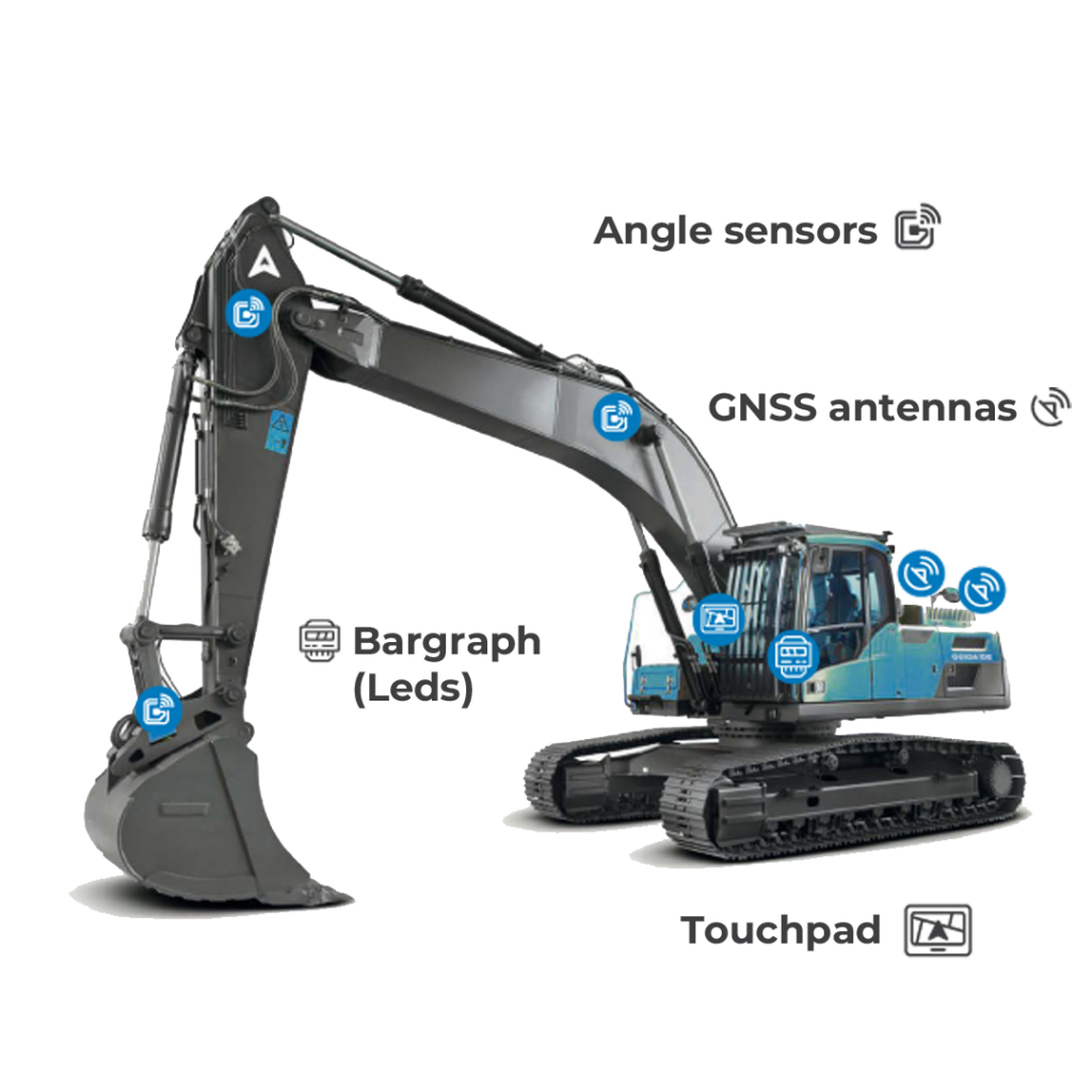
USE CASE
An innovative 3D guidance system: example on an excavator
Our features

Surveys and
layouts
Prepare your projects in real time with our advanced software! With powerful point coding functions, you can precisely reference every element of your job sites, calculate workloads, and much more.

Utility network location
Save time and increase efficiency by locating utility pipes in real time. Easily import and export your survey plans, and access a comprehensive catalog of specific elements, such as drainage and roadworks…

GNSS precision for landscaping
Define your earthmoving project with your customer using GPS references. Get the exact cubic dimensions to draw up your estimates on site. Say goodbye to disputes: the project is saved directly in a directory on the tablet. All that’s left to do is send your machine to the jobsite for fast, error-free execution.

Trenching & Guiding to line
Follow the Bargraph’s indication to navigate your linear projects, slopes, and trenches. With our technology, you can manage complex lines and position your machine with precision to create interior or exterior line offsets. Complete trenches and embankments in a single pass.
Testimonials
What our customers say
-
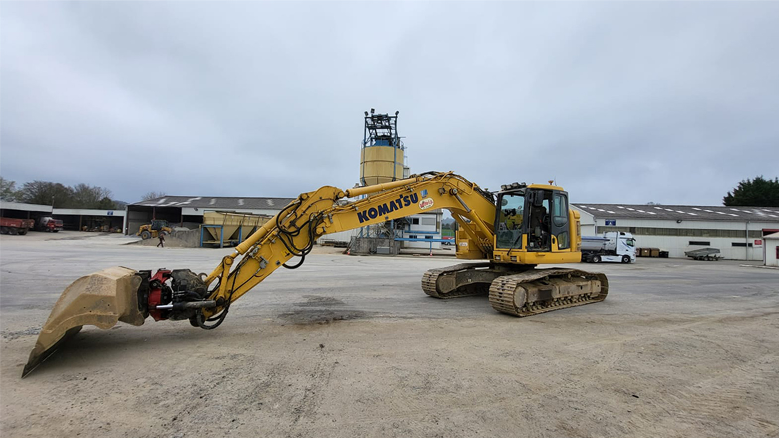
-
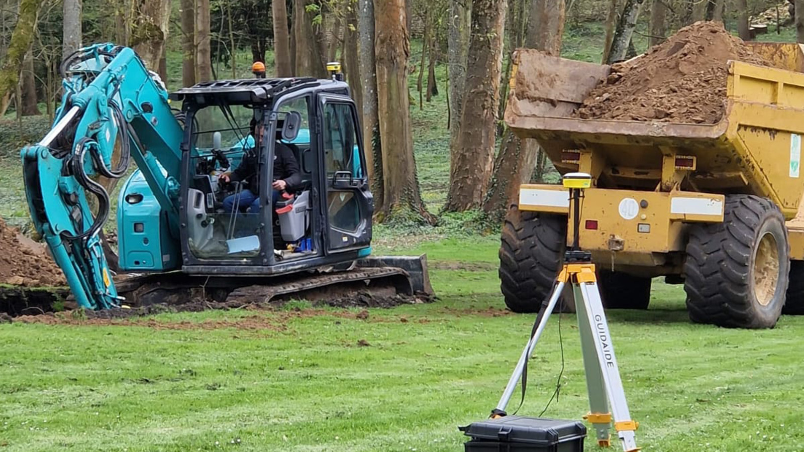
JMLTP is a committed user of SITENAV’s advanced specialized applications, utilizing our solution for pits, compaction work, and surveying with our rover.
-
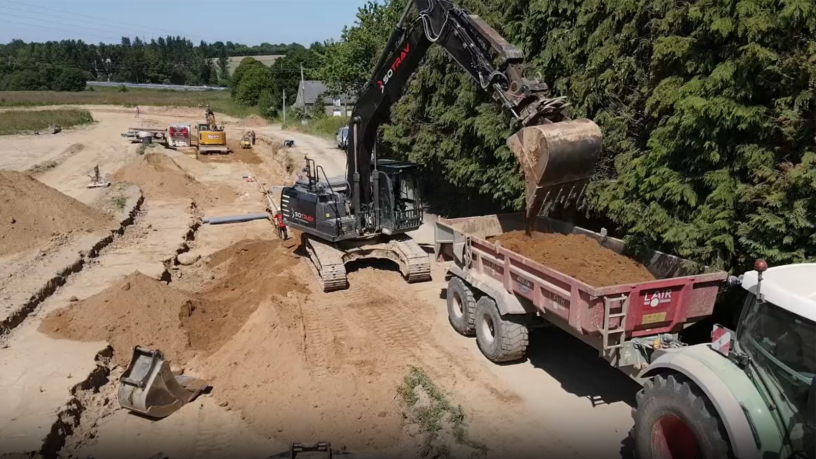
SOTRAV optimized its earthmoving operations with the SITENAV GNSS. The onboard GNSS ensures RTK precision, and in case of a weak signal, it could become a radio base via our rover kit, ensuring the transmission of corrective data for optimal performance.
CONTACT US
We look forward to starting a project with you!
Need more information about SITENAV? Fill the form below to contact our team.